Activities:
Walking & Hiking
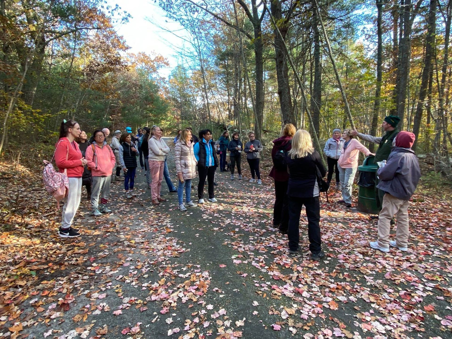
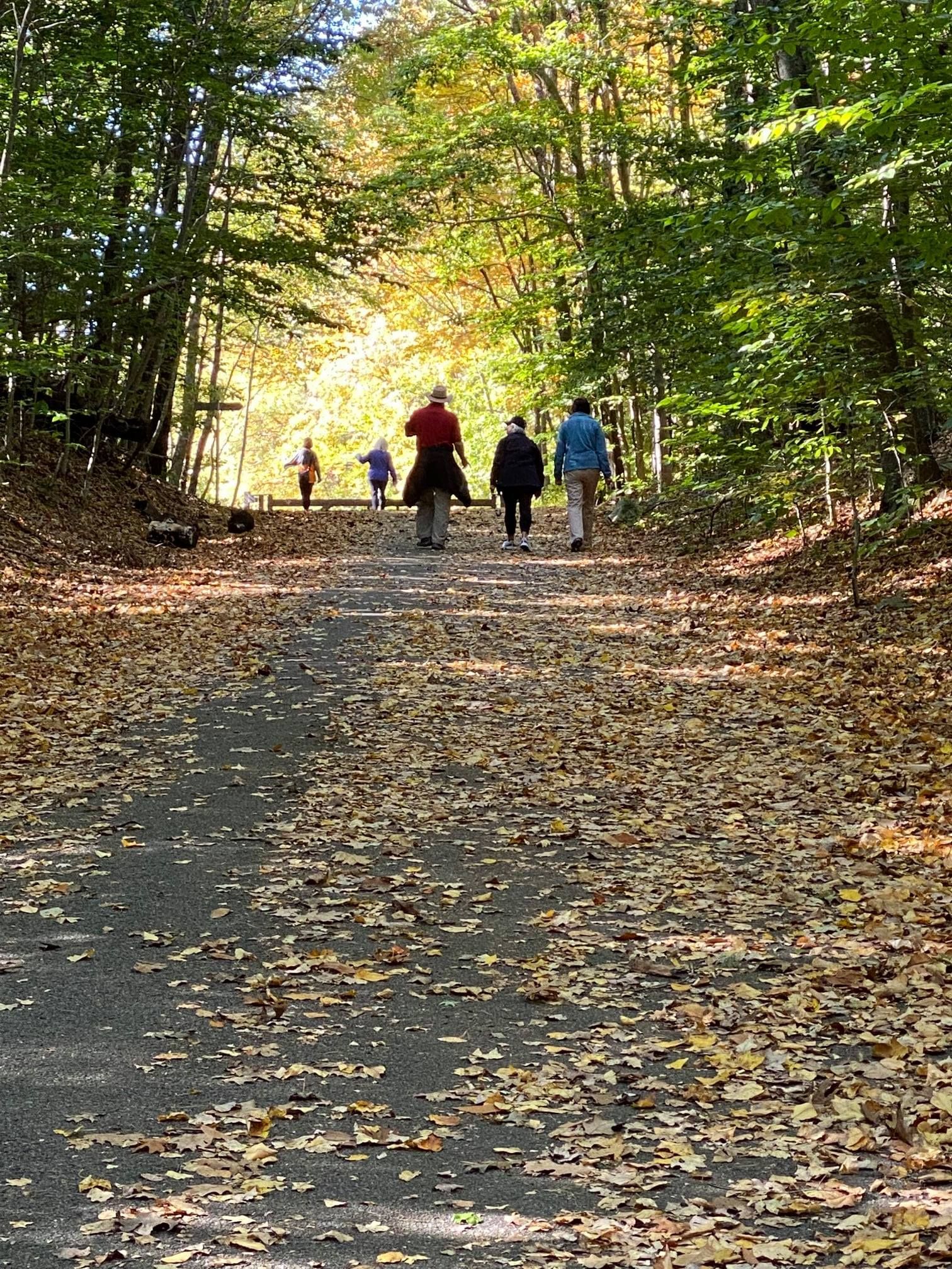
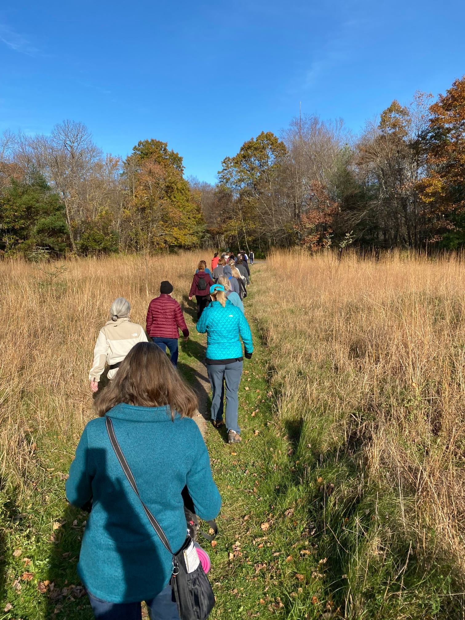
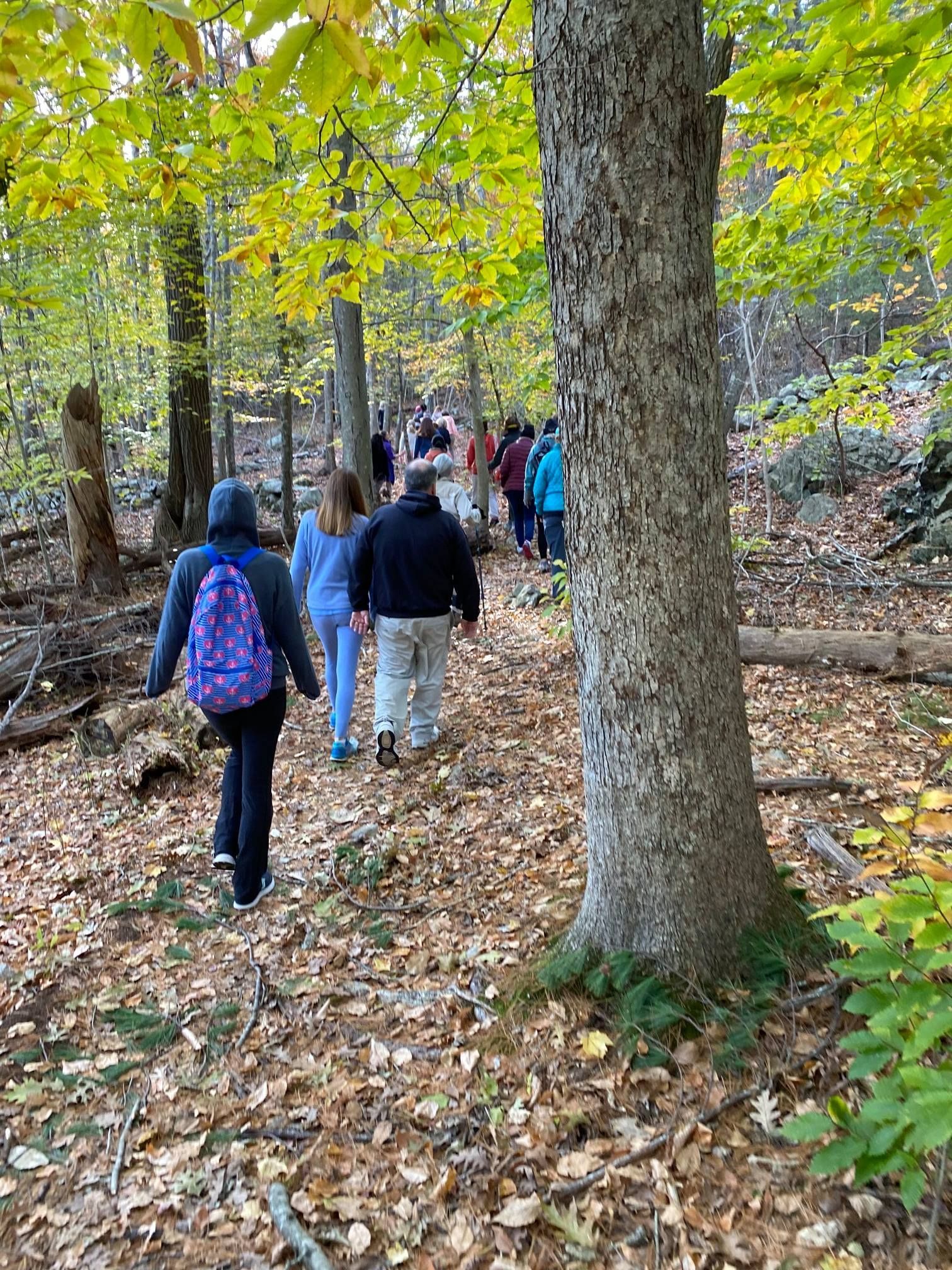
Wompatuck State Park offers numerous hiking trails and easily accessible walking paths for all ages and athletic abilities. There are also many roadways closed to vehicles that patrons can safely enjoy...

Quick Tools:
Maps & Routes
Working with DCR, the FOW has made a printable PDF as well as an interactive phone map of the park.
The Komoot app also has routes (rated Easy to Hard) for you to use as a jumping off point for your explorations.
Overview:
Walking & Hiking in Wompatuck State Park
With 12 miles of non-motorized roads and over 40 miles of forest trails, Wompatuck State Park offers numerous hiking trails for all athletic abilities. In addition to Wompatuck's trails, Whitney and Thayer Woods, property of the Trustees of Reservations which borders Wompatuck's land, is also open to the public for hiking and biking as marked. This property offers a network of well maintained gravel paths.
The terrain of the park is extensively shaped by the glacial period. Prospect Hill, near the southwest corner of the park, is the highest point in Hingham at 240’ above sea level. Mount Hope is in the southeast corner of the park, north of Mount Blue, which is south of the park in Norwell. Turkey Hill is north of the park in Cohasset. This park is also the site of a glacial erratic, the Burbank Boulder. This boulder which balances itself at three points equally distant from each other, was left on the earth’s surface by glaciers. The Burbank Boulder is located in the northeast area of the park near Whitney Thayer Woods.
The park has a large number of paved roads remaining from its use as a Naval Ammunition Depot. Many of these roads go back to colonial times. Union Street, the main road through the park, begins in Hingham and extends south, all the way through the park, becoming Mount Blue Street as it enters Norwell. Leavitt Street, which once connected Cohasset’s Beechwood Area to Hingham’s Town Hall, extends into Wompatuck and becomes Doane Street at the Cohasset town boundary. South Pleasant Street runs east from Main Street in Hingham to Union Street in Wompatuck State Park. Lastly, Beechwood Street ran east from Union Street through the site of Aaron River Reservoir to Beechwood Street in Cohasset until the reservoir was formed by a dam in 1976-1978.
Much of the park is undeveloped and is heavily wooded. It has stands of White Atlantic cedar, American holly, chestnut oak, shagbark hickory, mountain laurel, pink dogwood, white pine, American Beech, and hemlock, some estimated to be 175 years old. Wildflowers and flowering shrubs also grow in abundance. Among the most common are Swamp Azalea, Solomon’s Seal, While Geranium, ladies slipper, and Sheep Laurel.
Land and water creatures abound in the park. Common species include: muskrat, raccoon, cottontail rabbit, skunk, painted turtle, bullfrog, coyote, deer, bobcat, fisher cat, red & grey fox, yellow spotted salamander, yellow spotted turtle, box turtle, woodcock, bass, pickerel and sunfish. There are over 250 bird species in the park, including : blue jay, great blue heron, goshawk, red tail hawk, yellow warbler, ruffed grouse, and quail. Fish commonly found in the 136-acre Aaron River Reservoir include bass, pickerel, sunfish, and perch.
Featured Hike: Wompatuck State Park "Big Loop"
Explore this 10.7-mile loop that traverses through the best of the park. Generally considered a moderately challenging route, it takes an average of 3.5 hours to complete. This is a very popular area for birding, hiking, and mountain biking, so you'll likely encounter other people while exploring. The trail is open year-round and is beautiful to visit anytime.
This loop passes Woodpecker Pond, the park campground, the Aaron River, Holly Pond, Heron Pond, Aaron River Reservoir, and Triphammer Pond as you loop through the forest. There are some rolling hills but no major climbs.
Sections of the trail are not marked, so accessing the route from AllTrails.com or Komoot.com ahead of time is recommended.
Dog Walking in the Park
Wompatuck is also a fun environment for dog walking. All dogs must be leashed in the "developed areas" of the park, which include:
- The Mason A Foley Visitor Center grounds
- All parking areas
- Union Street and 100' on either side of the street
- The contact station and campground
- The transfer station
- The administration building
- Doane Street (from the Cohasset gate to the power line)
No pets are allowed at the Mt. Blue Spring site.
Always clean up after your pet and properly dispose of its waste!
Dogs may be released from their leashes in other areas only under the following circumstances:
- The dog is under the owner's control at all times and will "heel" on command.
- The owner has a leash in their possession.
- The dog is not allowed to disturb, harass, or interfere with wildlife or other visitors.
Leashes help to keep dogs on the trails and away from harmful plants and unseen hazards, such as barbed-wire fences, stinging insects, and frightened wildlife. Having you dog leashed also lessens the chance that your dog will startle hikers, cyclists, or equestrians, or will bite other people or pets, no matter how unlikely that may seem. If you dog does not have a strong recall or is easily distracted (there’s a lot of wildlife in Wompy!), for the safety of your dog and all park users, your dog should remain leashed.
Please remember that Womptuck is a multi-user park. Even if you believe your dog is people friendly, not every park user is dog friendly! Make sure you always control your dog and yield to other park users as appropriate – we all have to share the trails!
Professional dog walkers must obtain a Commercial Activity Permit to operate their business in Wompatuck. Please apply for a permit on the
DCR website.
Before enjoying Wompatuck’s trail network, please make sure you acquire a trail map available at information kiosks located around the park as well as the visitor center.
Need a park map?
View online
|
Download PDF
-
![]()
-
![]()
Nature's Symphony
ButtonPhoto: David Larkin
-
![]()
-
![]()
Interested in Helping?
Then PLEASE Consider Joining , Volunteering, or Donating Today!
THANK YOU!

© 2024 - All rights reserved | FOW - Friends Of Wompatuck
